Deconstructing Google’s Local Guides and Photo Updates Post
Like all Google releases it generated massive press. We cast our penetrating 'Kreminologist’s' eye on its many details.
Last week Google posted a Maps potpourri press release: “Three new ways anyone can update Google Maps.” Like all Google releases it generated a massive amount of adoring coverage but we wanted to take a minute to cast our “Kreminologist’s” eye on the content and deconstruct its many details.
Google Maps: The Big Picture
The announcement: Google Maps’ local database now has more than 200 million places that range from local businesses and services to parks and plazas.
Our take:
- Google has spent years and billions of dollars assembling their local Knowledge Graph and this number is a staggering one.
- Of this, somewhere on the order of 125 million are location- and service area-based businesses worldwide, with roughly 17 million of those located in the US.
- This dataset alone, notwithstanding the amount of sub-entity detail that Google has collected, is a formidable moat for any company thinking about entering the mapping space.
Importance of Local Guides
The announcement: Google Maps has reached a new milestone: 150 million Local Guides worldwide.
Since the Local Guides program started six years ago, Guides have contributed more than 70% of the reviews, photos and other types of user-generated content on Google Maps.
Local Guides added more than 8 million places to Google Maps in 2020. They also updated business attributes on more than 17 million places in Maps during the past year.
Our take:
- Google doesn’t frequently share Local Guides numbers. Having 150 million Local Guides implies that Maps likely has 1.5 billion regular users.
- While not generally lumped with social sites, the amount of user interaction and contributions would put it in the top 4 or 5 sites in its own right.
- By marshaling this many active users Google has created a huge advantage in terms of: 1. currency of map data and 2. user-generated content associated with entities.
- Local Guides updated 8% of Google’s listings and added an even more significant number of new places to the database.
- One example of the importance of this army of volunteers has been their impact on the size of Google’s review corpus. It's one of the major factors in Google becoming dominant in the review space – a phenomenon that largely occurred during the six years of the Local Guides’ existence.
Local Love Challenge
The announcement: “For the next month, most people using Android in the U.S. can join our first nationwide challenge to rally helpful reviews, photos and updates from sea to shining sea. Simply jump into the Contribute tab in Google Maps to join the ‘Local Love challenge’ and add ratings, reviews and confirm information to support local businesses you’ve visited, from your go-to bakery to the neighborhood hardware store. Each contribution will count toward a collective goal of updating 100,000 businesses.”
Our take:
- While Google is often tarred with putting revenue first, they have largely achieved their massive financial success by always thinking about the searcher and the data set.
- Not to be cynical, but their Local Love Challenge is a good way to capture updated data as the economy re-opens in the US and globally.
- Further gamifying and creating a common purpose for the Local Guides will help Google obtain a better idea of the changes “on the ground” in the local space, from business hours to new business openings.
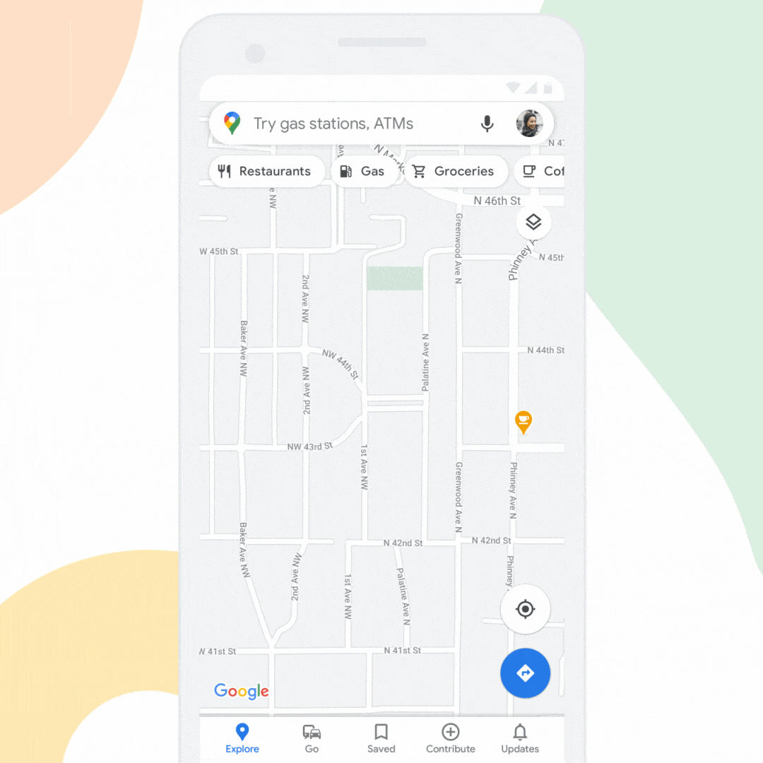
Photo Updates on Maps
The announcement: Over the next few weeks Google will introduce a new user generated content type in Google Maps: photo updates. The company positions it as “an easy way to find and share experiences and highlights with recent photos. A Google Maps photo update is a recent snapshot of a place with a short text description, without the need to leave a review or rating.”

Our take:
- This is very Instagrammy: highly visual with an emphasis on images and minimal text (how much we are not yet sure).
- The increasingly visual elements in Google Maps is further evidence of Google’s move toward visual image-based search in Local. This is as much a response to Instagram as it is a nod toward changing user tastes.
- It should also serve as a reminder that SMBs don’t own their business profile. It is probably best to think of it as akin to a shared desk in a co-working space.
- With Google’s increasing ability to “understand images” with their Cloud Vision Image AI, this new format also becomes a rich source of both textual AND VISUAL entity data.
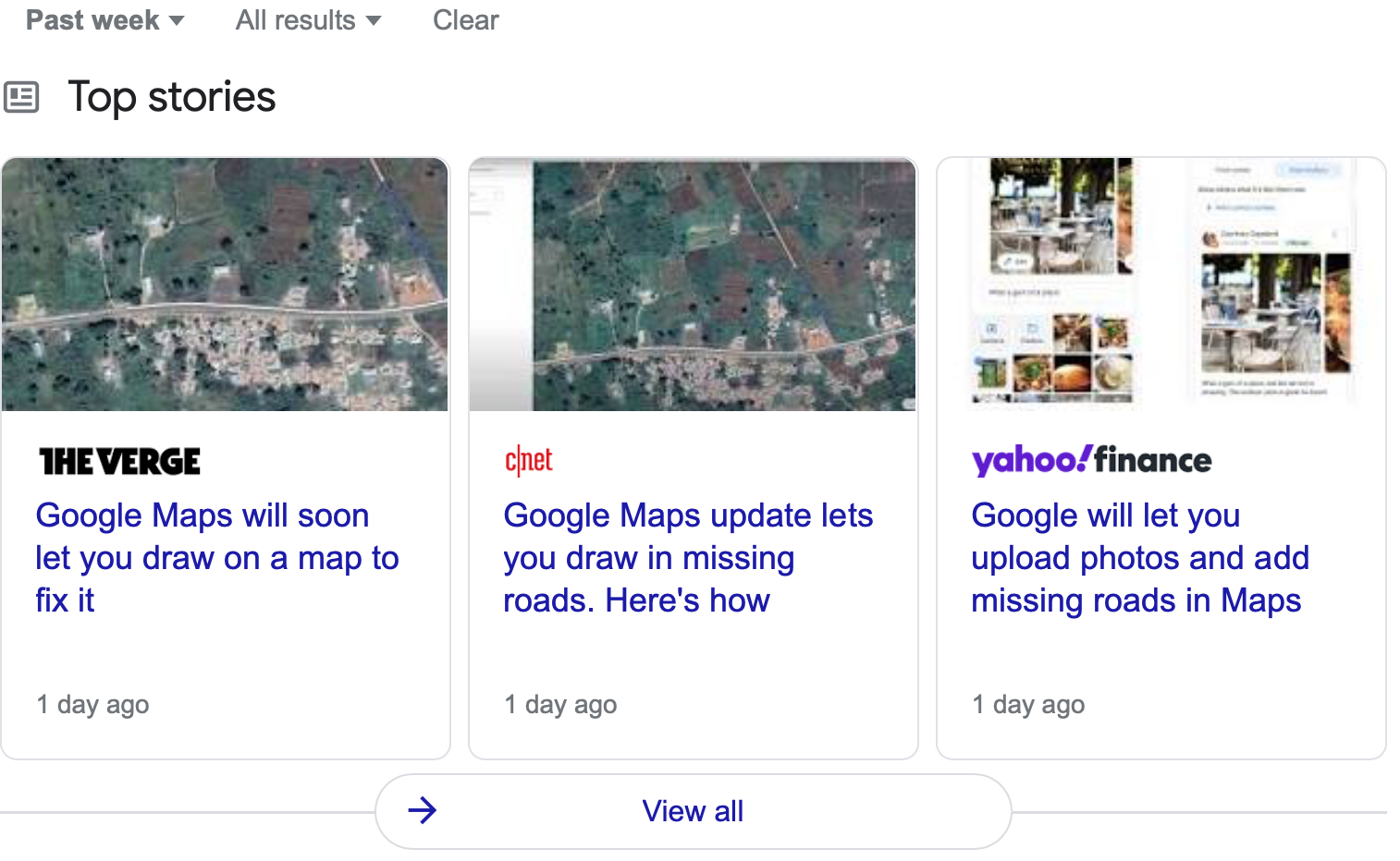
Draw New or Missing Roads on Maps
The announcement: “Easier for you to report road changes with a new, immersive desktop road editing tool. Add missing roads by drawing lines, quickly rename roads, change road directionality, and realign or delete incorrect roads. You can even let us know if a road is closed with details like dates, reasons and directions. To make sure the suggestions and edits are accurate, we’ll vet contributed road updates before publishing them. This feature is rolling out over the coming months in more than 80 countries.”
Our take:
- Road edits in the desktop have been particularly problematic since the demise of MapMaker in 2017. The current desktop tools offer little ability to reflect the nuance of real world roads, forcing multiple edits for even short road segments.
- The feature has existed on mobile, and in some countries Google offered a dedicated road building tool.
- Google has long been promising this feature to mappers. In fact, it was promised to be “delivered soon” over two years ago.
- According to one active mapper I spoke with, this new product supports only 80 countries, half of what MapMaker supported and it is a concern that its reach is limited. Why is not clear.
- Despite the relatively insignificant nature of the announcement Google managed to garner massive press coverage.